

Schott & Associates
Ecologist and Wetland Specialists
Whether you’re a private individual, small business owner, large corporation, or a government agency, we can help navigate the maze of natural resource regulations.
Your trusted wetland consultant since 1996
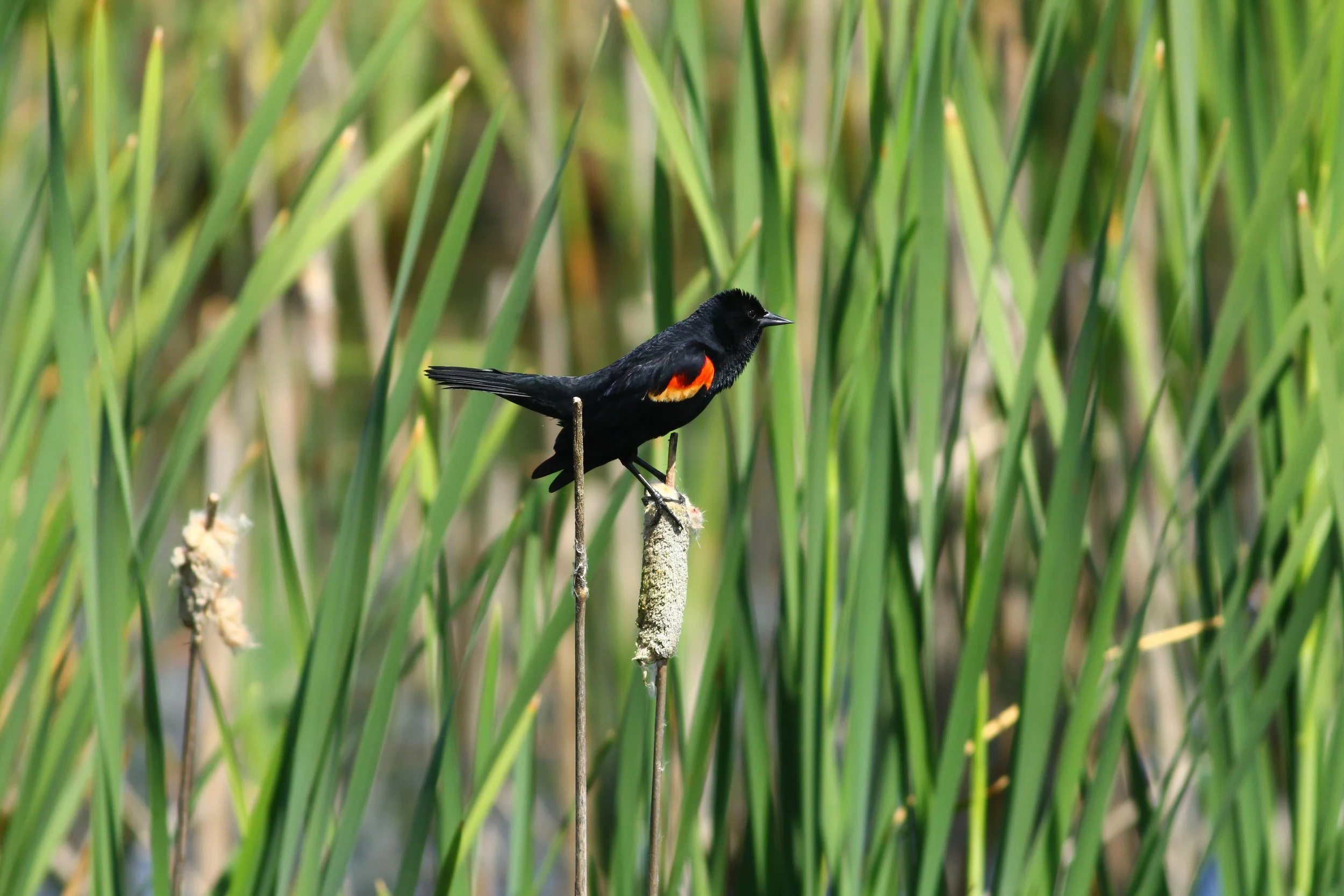
Photo by: Zia Fukuda
Schott and Associates has provided wetland/local resource support throughout the Pacific Northwest since 1996. S&A was certified as a Women Business Enterprise in the state of Oregon in 2024.
Our Services

Wetlands
S&A provides a wide variety of wetland related services to help clients make educated decisions for regulatory, conservation, and land management purposes.

Natural Resources
S&A helps guide clients through local codes associated with any natural resource protections that may be present on their site.

Subcontracting
S&A offers subcontracting services to assist other professionals meet their project specific ecological requirements.
Highlighted Projects

Happy Valley Crossroads
This project consisted of two delineations, conducted separately and concurred with by DSL. A natural resource assessment for the City of Happy Valley and Undisturbed Buffer Averaging application for Water Environmental Services (WES) were prepared and permit issued.

West Linn Central Village
Completion of a Water Resources Area (WRA) Report for a proposed commercial development project in West Linn, Oregon. S&A completed functional assessments, wetland mitigation plans, and subsequent mitigation monitoring after construction was completed.

Monitoring support for over a dozen tidal freshwater and euryhaline wetland restoration and reference sites along the Columbia River for the Lower Columbia Estuary Partnership.
Lower Columbia Estuary Partnership

Get in Touch!
Interested in our services? Share some details and we will get back to you soon. We are eager to connect with you!